For more information call 0800 23 46 36
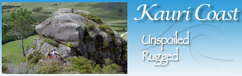
The Kauri Coast offers a wide range of walking tracks and caters for all abilities. There are short and leisurely walks and longer walking tracks, some of which are more suitable for experienced hikers. They take in a variety of breathtaking, unspoiled scenery, including native forest, farmland, coastal and hill country.
Check The Weather And Tides
http://www.metservice.co.nz/public/localWeather/dargaville.html
The Department Of Conservation Walking Tracks
http://www.doc.govt.nz/parks-and-recreation/tracks-and-walks/northland/kauri-coast/
Some Of Our Walkways:
Giant Kauri walks in Waipoua Forest
Visit Tane Mahuta in the Waipoua Forest, New Zealand's largest known living kauri tree.
This short walk leads you under cooling shade of the forest canopy to the
 majestic Tane Mahuta, New Zealand's largest living kauri tree.
Not far into the walk, a sweeping corner of the track suddenly brings you face to face with the ‘Lord of the Forest’. When you catch your first breath-taking view of this magnificent tree, you'll feel compelled to pause for a while. You can almost feel Tane Mahuta’s strength and ancient presence, and its overwhelming size makes visitors look like dwarfs.
There is a wooden fence and a seat to view the tree. To get a broader view of Tane Mahuta, you can move further along the track, which then leads to another viewing platform.
According to Maori mythology Tane is the son of Ranginui the sky father and Papatuanuku the earth mother. Tane was the child that tore his parents' parental embrace and once done set about clothing his mother in the forest we have here today. All living creatures of the forest are regarded as Tane’s children.
Measurements:
Trunk girth: 13.77 m
Trunk height: 17.68 m
Total height: 51.2 m
Trunk volume: 244.5 m³
For safety, it is very important to make sure you get current information from DOC before starting out. Phone (09) 439 3450.
Maunganui Bluff Walk
 Few walks match the magnificent Maunganui Bluff for breathtaking scenery. The Bluff rises 460 metres from the sea below and comprises a 495 hectare scenic reserve, one of the few examples of dense coastal forest remaining in Northland. Located on the Aranga Coast Road, 40 kms north of Dargaville. It is a 3 hour return walk to the summit. The track climbs steadily and may prove difficult for younger children, elderly or unfit people, but generally this route is recommended for families.
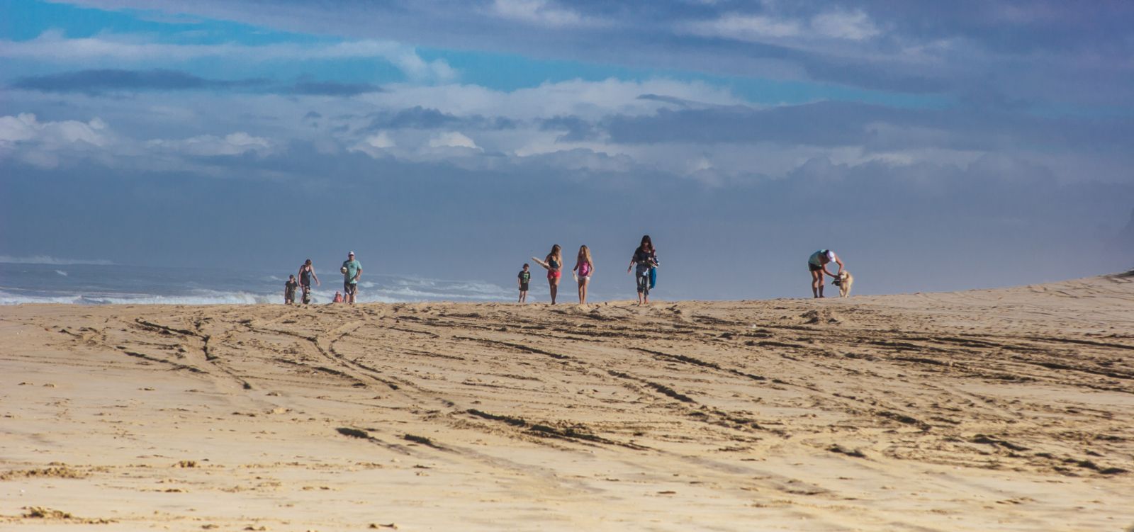
Kai Iwi Lakes

The three beautiful crystal clear fresh water lakes are fringed by pure white sand and set amid farmland and pine plantations. You can walk around the 3 lakes by following the contuior of the land.
The Taharoa domain is 2.5 kms from the Tasman Sea and a walking track to the coast crosses farmland before dropping down sand dunes and a low cliff to the beach.
Kai Iwi Lakes to Maunganui Bluff
From where the Lakes track meets the beach it is a 1.5 hour walk to the rocky base of Maunganui Bluff at Aranga Beach to the north. Please allow 3-4 hours return.
Baylys Beach Walkway

A 15 minute walk across sand dunes and low cliff between Baylys Beach and Chases Gorge, which are two small neighbouring coastal settlements. From the top you and see the wild majesty of the coast and recognise off-shore holes and rips which make swimming unsafe.
Moremonui Monument
A 2 hour walk from Baylys north, or 1 hour walk south from Omamari. Walking from Baylys Beach, the monument is on a low bluff at the mouth of the 3rd stream gully reached. From Omamari, it is at the 1st stream south of the beach access point. The Moremonui Monument commemorates a battle in approximately 1807 between local Hgati Whatua warriors and Ngapuhi raiders from further north.
Waoku Coach Road
This is the Kauri Coast Walk for adventurers. The isolated and historic Waoku Road, once the only transport link between the Kaipara and Hokianga Harbours, is a tribute to pioneer roadmaking. Waoku Coach Road is located between Tutamoe and Taheke, traversing the Mataraua and Waima Forests. The length from north to south is 20 kms and takes a full days walk. The southern entry is at Tutamoe and the northern entry is at Waima. The route is lightly marked and little used so adequate preparations should be made, including good maps, boots and wet weather gear.
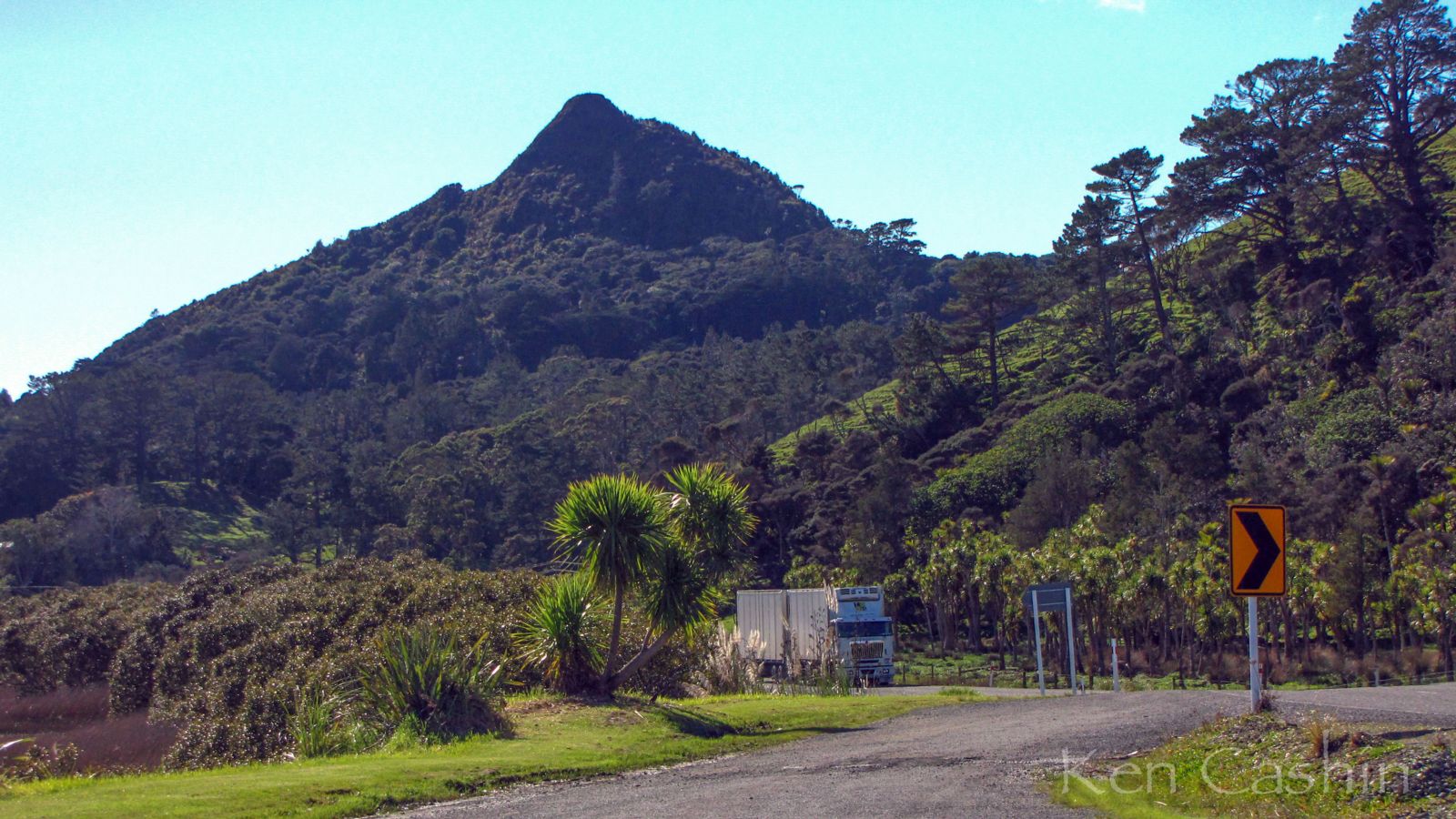
Tokatoka Peak
Tokatoka is a very distinctive landmark in the Kaipara district. The track surface is variable from grass, roots, soil and rock. The track ascends continuously; nearing the top there is a particularly steep but short climb of 20 metres before the summit.
From the top of this peak, the 360-degree views are stunning. It almost feels like being on top of the world and makes the 20-minute climb well worth it. You get great views towards Dargaville and of the Kaipara. On a clear day, you are able to see Bream Head and the Tangihua range towards the east.
Maungaraho Rock
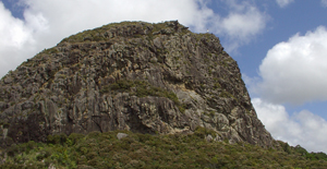
This interesting feature on the landscape is a huge rocky outcrop rising from the countryside not far from Tokatoka. There are 2 tracks, the lower track circles the base of this bushclad rocky bluff and the other leads off this one to the top. It is a 45 minute walk around the base, while the track to the summit takes 30 minutes. The track to the summit requires fitness as it is steep and entails some climbing. In places ropes and ladders assist this.
Located on Mititai Road, Arapohue, off State Highway 12, 11 kms south of Dargaville.
Pouto Lighthouse

Located at Pouto Point, 69 kms south of Dargaville on the Pouto Peninsula. There is a 7 km walk along the Kaipara Harbour Mouth's northern shores and then an energetic ten minute climb up sand dunes to the Lighthouse. The three storey wooden lighthouse was built in 1884 and is now protected by the Historic Places Trust.
Collins Bush Scenic Reserve
Collins Scenic Reserve is located on Gorge Road, 300m along the metal section of the road, travelling away from Maungatoroto. There’s a short walkway (15 minutes return) through the bush to a lovely stand of Kauri trees.
Community Walkway
Maungaturoto has its own Community Walkway which features open farm land and small bush sections. It takes about 20 minutes to walk one-way, and entrances are located at the Country Club and near the carpark at Otamatea High School (you can make a loop walk by returning along the road-side footpath). The walkway is open to everyone, and dogs are permitted on-leash – but the walkway is closed for around a month during lambing season.
Maungaturoto Nikau Grove
This is situated on Whaka Street beside St David’s Presbyterian Church. It is very pretty and is one of the few naturally-occurring stands of Nikau palm trees in New Zealand. There is a short loop walk through the bush (about 15 minutes), and dogs are permitted on-leash.
Piroa Falls
Piroa Falls owe their origins to a band of hard volcanic rock which has resisted erosion, to create a spectacular waterfall into a deep plunge pool. They are especially impressive after heavy rains, and the pool provides an excellent spot for swimming. There’s a good picnic site on the bank, so it’s a perfect place for families in the summer months. The falls are located on Gorge Road about 5 km north of Maungaturoto (the road is metalled for the last few kilometres). Access is via a 5 minute walk into the gorge, developed by Rotary and DOC.
Brynderwyn Hills Walkway
The Brynderwyn Hills stretch some 15 km from Mangawhai Heads in the east to the vicinity of Maungaturoto. You can access the Brynderwyn Hills Walkway from either the western or the eastern end (see the link below for directions). The walkway follows varied terrain, including regenerating bush and farmland, with some steep sections. There are spectacular views of the sea, including the Mangawhai estuary and the Hen and Chicken Islands. As you reach the Trig at 276 metres you get magnificent views in every direction. Dogs are not permitted on this walkway. http://www.doc.govt.nz/parks-and-recreation/tracks-and-walks/northland/whangarei-area/brynderwyn-hills-walk/